Explore York Region's Thriving Agriculture
& Agri-Food Sector
From the rich soils of the Holland Marsh to a diverse mix of food and beverage businesses, this sector plays an important role in York Region’s economy and supporting the Ontario food chain. With a $3.8 billion annual GDP, York Region is home to a vibrant and thriving agriculture and agri-food sector, and is the fourth-largest food and beverage processing hub in Canada.
- The agriculture and agri-food sector supports over 67,000 jobs in York Region
- York Region is home to over 300 food and beverage manufacturers and processors
- 5,000+ value chain companies are part of the agriculture and agri-food sector
- 600+ farm-based business call York Region home, spread over 130,000 acres
- York Region farms generate over $390 million in operating revenues
- Home to the York Region Food and Beverage Accelerator Program at York University’s YSpace
- Our soil is rich as York Region’s operating farm revenue ranks first per acre in the Greater Toronto Area, and third in the Greater Golden Horseshoe
- York Region is the fourth-largest food and beverage processing hub in Canada
York Region Agriculture & Agri-Food Strategy
The 2024-2027 Agriculture and Agri-Food Sector Strategy is an action plan that was approved by York Regional Council in 2024.
As a crucial component of York Region’s economic vitality, the new strategy focuses on sustaining and supporting the entire local agri-food sector to enable the sector to thrive for years to come.
The 2024-2027 strategy is a road map guiding the development of program initiatives, aiming to:
- Strengthen business, entrepreneurship and innovation
- Bolster an already resilient and diverse value chain
- Continue to educate and raise the profile of local agriculture and the agri-food sector

York Farm Fresh
A wide variety of delicious, local food is grown right here in York Region. From local organic fruits and vegetables, to high-quality eggs, meat and cheese, look no further than your own backyard for the best quality ingredients.
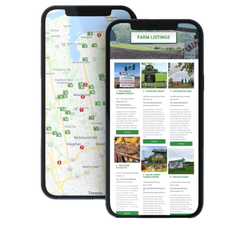
The York Farm Fresh Guide Map is the best way to find a variety of delicious food in your own backyard. This map lists farms and farmers’ markets to help you uncover local farm fresh products within York Region.


Why Eat Local?
You support the local economy. Not only is local food fresher and better for the environment, but when you eat local, you support the more than 600 farms that call York Region home. Buying local also helps support the broader York Region economy, creating more local jobs and supporting the community you live in.
Your food will be fresh and it’s better for the environment. Imported fruits and vegetables can travel long distances to get to your plate. This transport has an environmental impact related to greenhouse gas emissions and pollution. When you buy local you get fresh, delicious products with a reduced impact on the environment. We call that a win-win.
Connect With Our Agri-Food Specialists
Stay Connected!

Meena Hassanali
Program Manager, Rural and Agri-Food Initiatives

Nadia Mohammed
Rural and Agri-Food Business Development Specialist

From the latest stories, programs, community initiatives and more, the Agriculture and Agri-Food Newsletter is your source for all things agriculture and agri-food in York Region.